After a sunny weekend, another atmospheric river has hit the Sacramento region.
The cold storm rolled in early Tuesday and brought rain and gusty winds back to valley areas, along with snow in the Sierra, an area which has been deluged with heavy snowfall since late December 2022.
The storm will bear its heaviest impacts throughout the day Tuesday. Here’s what to know for the rest of the week.
Not a ‘super wet system’, but flood concerns persist
Valley areas — like Sacramento and Stockton — will see the heaviest rain “through the day Tuesday,” National Weather Service meteorologist Courtney Carpenter said. The Sacramento region is expected to see 1 to 2 inches of rain, and the northern San Joaquin Valley might see up to an inch.
“So, not a huge amount [of rain] or a super wet system,” Carpenter said. “But given the fact that we're saturated, we'll continue to see those issues with urban and small stream flooding, especially during any thunderstorms that pop up.”
Those thunderstorms could occur across a large swath of Northern California on Tuesday and Wednesday. The weather service is warning of lightning, small hail, gusty winds and isolated showers.
UCLA climate scientist Daniel Swain said flood concerns associated with this storm system are highest in the Central Valley.
“I am mostly concerned about the San Joaquin River watershed, so the southern half of the Central Valley,” he said during a Monday briefing. “The flood control system along the Sacramento watershed is frankly better up to the task of handling a challenge like this.”
Swain added that continued stormy weather has only added to snowpack levels across the state, which will eventually melt as temperatures warm.
“The reality is, all that snow is going to melt and end up in the Central Valley between now, and say, June,” he said.
Snowfall expected to continue in Sierra
The Sierra will continue to see snowfall as the storm moves through Northern California, with the heaviest impacts forecast for Tuesday.
“I did want to mention Tuesday morning — and in the afternoon — there is the potential for very heavy snowfall rates of 1 to 3 inches per hour,” Carpenter of the weather service said Monday.
All of the northern and central Sierra is under a winter storm warning through 11 a.m. Wednesday, with the weather service warning of hazardous conditions that could impact mountain travel.
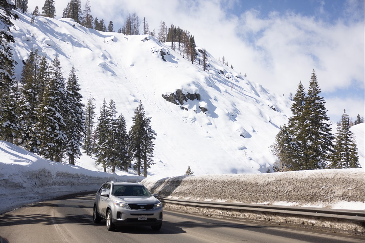 Highway 50 near Echo Summit, Friday, March 24, 2023.Andrew Nixon/CapRadio
Powerful storms since late December have blanketed the Sierra in a massive snowpack with a water content that is more than 220% of normal, according to the state Department of Water Resources.
The Sierra-At-Tahoe ski resort in South Lake Tahoe said that with 655 inches of snow, it had recorded its second-highest amount of snowfall in a season, with no end in sight. The resort also announced plans to extend the season through April 16.
Other resorts in the Sierra have announced an extension on ski and snowboarding season due to heavy snow, including Kirkwood, Heavenly and Palisades Tahoe, which will be open through July 4.
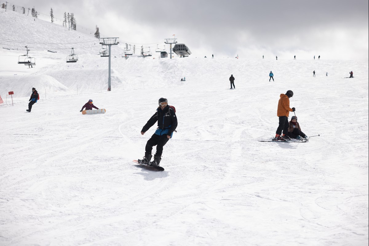 Sierra At Tahoe ski resort on Friday, March 24, 2023.Andrew Nixon / CapRadio
Wind advisory issued for much of Sacramento Valley, foothills
Another large portion of Northern California — including the entire Sacramento Valley, the northern portion of the San Joaquin Valley and some foothill and Bay Area communities — are under a wind advisory through 5 p.m. Tuesday.
The weather service warned that the winds could easily topple trees because the very wet winter has left soils saturated.
What’s ahead
Sunny skies will return to the region on Thursday and Friday. However, that may not last for too long: Carpenter with the weather service said “another weak system” could hit Friday night into the weekend.
She said a quarter of an inch of rain is forecast for valley areas, and that the Sierra could see 4 to 12 inches of snow.
“Right now, though, the bulk of that storm is aimed into Oregon,” she said. “We will, for our sake, hope [that it] remains that way, but we will keep you posted.”
The Associated Press contributed to this report.
Follow us for more stories like this
CapRadio provides a trusted source of news because of you. As a nonprofit organization, donations from people like you sustain the journalism that allows us to discover stories that are important to our audience. If you believe in what we do and support our mission, please donate today.
Donate Today